
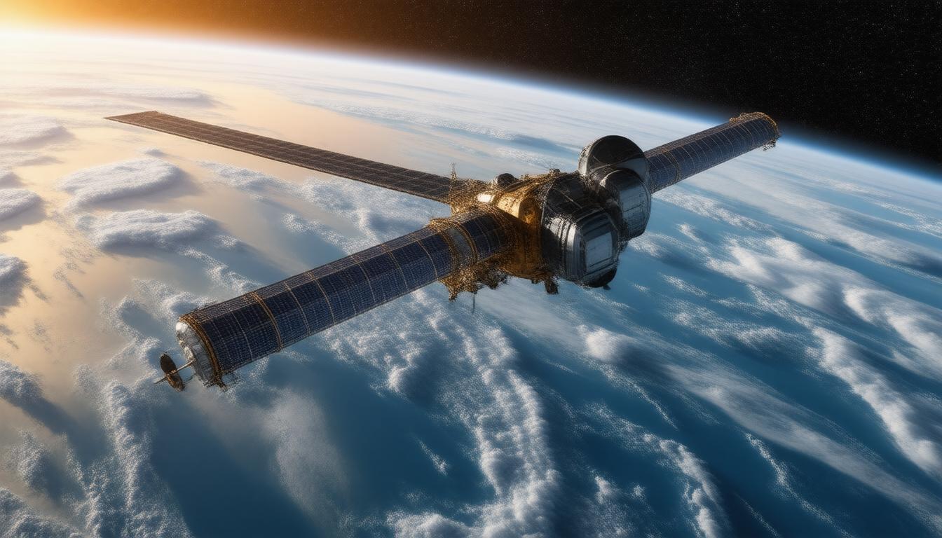
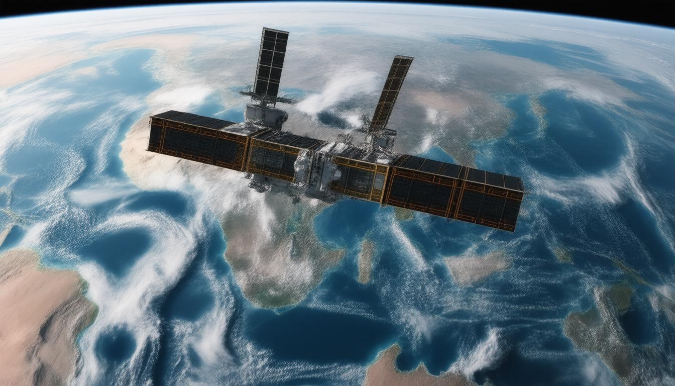
In our increasingly interconnected world, Earth observation satellites stand as crucial tools for understanding and managing our planet’s systems. These satellites, also referred to as Earth remote sensing satellites, are equipped with advanced sensors to collect data from space, providing insights that are pivotal for addressing environmental issues, natural disasters, and resource management.
Understanding Earth Observation Satellites
Earth observation satellites are specialized spacecraft designed to monitor and collect information about the Earth’s surface, atmosphere, and oceans. They began to revolutionize our understanding of the planet with the launch of Sputnik 1 in 1957, which marked the dawn of satellite telemetry for scientific purposes. Since then, their functions have evolved dramatically, enabling researchers to monitor weather patterns, track environmental changes, and manage natural resources effectively.
Types of Earth Observation Satellites
Earth observation satellites can be classified into two primary categories: government-operated and commercial satellites. Government satellites are typically utilized for scientific research, climate monitoring, and security applications, while commercial satellites, increasingly prevalent in today’s landscape, serve a variety of purposes, including agricultural monitoring and disaster response.
Types of Sensors
The effectiveness of Earth observation satellites largely hinges upon their onboard sensors, which can be broadly divided into two types: passive sensors that detect natural energy (like sunlight) reflected off the Earth, and active sensors that emit their own signals (such as radar) to obtain data.
-
Optical Sensors: These can capture visible and near-infrared light, ideal for vegetation analysis and land use monitoring. However, their ability is hindered by cloud cover and nighttime conditions.
-
Thermal Infrared Sensors: Able to detect heat emitted from the Earth’s surface, these sensors enable researchers to monitor surface temperatures and volcanic activities, even at night.
-
Radar Sensors (SAR): Synthetic Aperture Radar can penetrate clouds and work at any time of day, making it crucial for mapping topographic changes and monitoring deforestation.
-
Lidar (Light Detection and Ranging): This technology utilizes laser pulses to determine distances, offering precise measurements of terrains, ocean topography, and vegetation density.
-
Microwave Radiometers: These instruments measure naturally emitted microwaves from the Earth, allowing assessments of atmospheric conditions, sea temperatures, and precipitation.
The Importance of Orbits
The orbit of an Earth observation satellite plays a significant role in its data collection capability. Most Earth observation satellites operate in sun-synchronous orbits, which enable them to pass over the same location at consistent times, allowing for comparability of data over time. Conversely, geostationary orbits allow satellites to maintain a fixed position relative to the Earth, which is particularly advantageous for continuous weather monitoring.
Applications of Earth Observation Data
The data harvested from Earth observation satellites is invaluable across various fields:
-
Environmental Monitoring: Scientists leverage satellite data to track changes in vegetation, assess air and water quality, and monitor climate change impacts.
-
Disaster Management: In the wake of natural disasters like floods or wildfires, satellite imagery provides critical information necessary for effective response and recovery planning.
-
Resource Management: From tracking agricultural yields to managing water resources, Earth observation satellites help in optimizing resource usage and ensuring sustainable practices.
-
Urban Planning: These satellites support urban development by providing data on land use changes, infrastructure growth, and environmental impacts.
The Future of Earth Observation Satellites
As technology advances, so do the capabilities of Earth observation satellites. The continued miniaturization and increasing affordability of satellite technologies enable more countries and businesses to participate in this crucial field. Future developments are expected to lead to higher resolution imagery, real-time data, and enhanced data fusion capabilities, which will deepen our understanding of the Earth and bolster our ability to address global challenges.
In conclusion, Earth observation satellites represent a vital intersection of technology and environmental science. By unlocking the Earth’s secrets, these satellites play an essential role in fostering informed decision-making and sustainable practices, paving the way for a healthier planet. Through continuous advancements in satellite technology and increased accessibility of Earth observation data, the future promises even more profound insights into our world.
Join Alpha Centi and give a unique boost to your career and professional profile today! [color=rgb(4, 53, 157)]https://alphacenti.org/join/[/color]