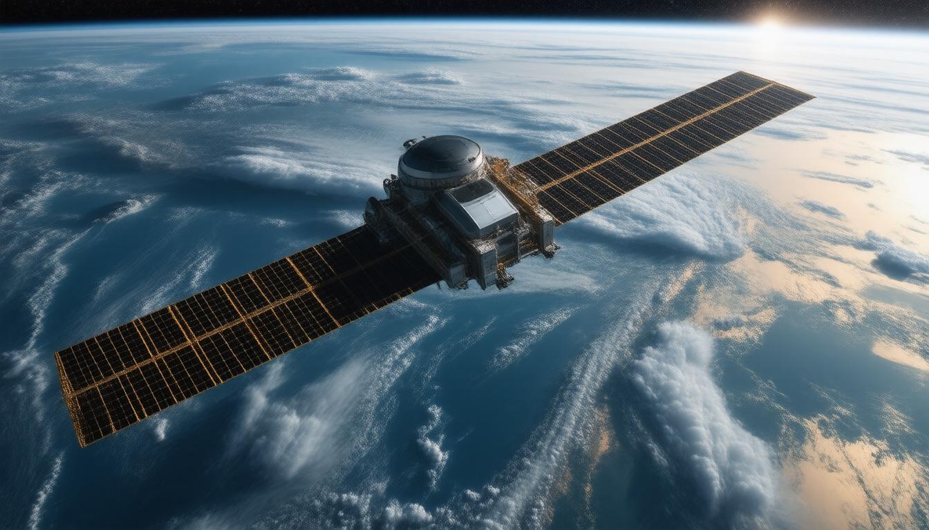
Satellite imaging has revolutionized our understanding of the planet, allowing us to observe and analyze our world in unprecedented detail. From tracking climate change to supporting disaster response efforts, satellite imagery plays a crucial role in various industries. This article delves into the evolution of satellite imaging, its applications, and the technologies driving its success.
A Brief History of Satellite Imaging
The journey of satellite imaging began with the first images from space taken by the V-2 rocket in 1946. However, it was not until the launch of the Explorer 6 satellite in 1959 that we captured the first orbital photographs of Earth. Since then, satellite technology has evolved significantly, with programs like Landsat begun in 1972 allowing for a systematic approach to collecting earth observation imagery. The evolution continued with the development of real-time satellite imaging systems, such as the KH-11, which provided immediate spatial insights crucial for various applications.
Today, satellite imagery is widely available through government and commercial providers, offering essential data for a diverse array of applications.
Applications of Satellite Imaging
1. Climate Monitoring
Satellite imaging has proven invaluable in monitoring climate change. Advanced sensors collect data that aids in tracking storm systems, assessing temperature changes, and studying environmental alterations. This information supports climate modeling and helps form strategies for mitigating adverse effects.
2. Agriculture and Fisheries
In agriculture, satellite imagery assists in monitoring crop health, predicting yields, and optimizing resource allocation. By revealing vegetation indices and soil conditions, farmers can make data-driven decisions to enhance productivity. Similarly, fishery management benefits from satellite data, which helps locate fish populations and assess ocean health.
3. Urban Planning and Disaster Management
Satellite imagery is critical in urban planning, as it provides insights into land use and development. For instance, high-resolution images help planners manage urban sprawl and assess infrastructure needs. In disaster management, satellite imaging is used for early warning systems and response coordination, offering timely data that can help mitigate the impact of natural disasters.
4. Environmental and Wildlife Conservation
Satellite imaging aids in preserving biodiversity by monitoring ecosystems and mapping habitats. It helps conservationists track endangered species and assess deforestation rates, leading to more effective environmental policies.
5. Geologic and Resource Exploration
Industries such as oil and gas rely on satellite imaging for geological assessments. By utilizing spectral data, companies can identify potential drilling sites and monitor existing operations. Similarly, mining operations use satellite data for mineral mapping, essential for resource extraction.
The Technology Behind Satellite Imaging
Modern satellite imaging techniques utilize a range of sensors and platforms, including geostationary and polar-orbiting satellites. These satellites are equipped with multi-spectral sensors capable of capturing data across various wavelengths, enabling detailed analysis of the Earth’s surface. The different types of resolutions available — spatial, spectral, temporal, radiometric, and geometric — allow for comprehensive data collection and interpretation.
Artificial Intelligence (AI) and Machine Learning (ML) play a significant role in processing satellite data. These technologies enable the rapid analysis of vast datasets, extracting actionable insights that can significantly impact decision-making across sectors.
Conclusion
Satellite imaging continues to transform our understanding of Earth and its systems. From crucial applications in climate monitoring to supporting food security and urban planning, it is a technology that advances not only science and research but also enhances our preparedness for future challenges. As we move forward, the integration of AI and advanced analytics will further enhance the capabilities of satellite imaging, promising even richer data and insights for generations to come.
Join Alpha Centi and give a unique boost to your career and professional profile today! [color=rgb(4, 53, 157)]https://alphacenti.org/join/[/color]


